BIG RIVER MINE TAILINGS/ST. JOE MINERALS CORP.
Desloge, Missouri
Latitude 37.872778
Longitude -90.520556
I have never spent much time in Missouri, but I have found the southeastern landscape of the state both beautiful and frightening. While visiting Matt Sopron (http://www.freemattsopron.com/ ) in southern Illinois I researched and mapped out a not so quick “circle” tour of a few “Lead Belt” Superfund Sites in Missouri and Southern Illinois. In my search I was both startled and strangely excited that one of the worst 10 Sites in the United States was about 50 miles from us into Missouri.
I would like to point out that I would happily live ever after if no Superfund or hazardous waste sites existed at all, but the fact is that generally things have to get unbearable before real change occurs. There is a legacy of pollution that continues in this country that is beyond my cognitive understating.
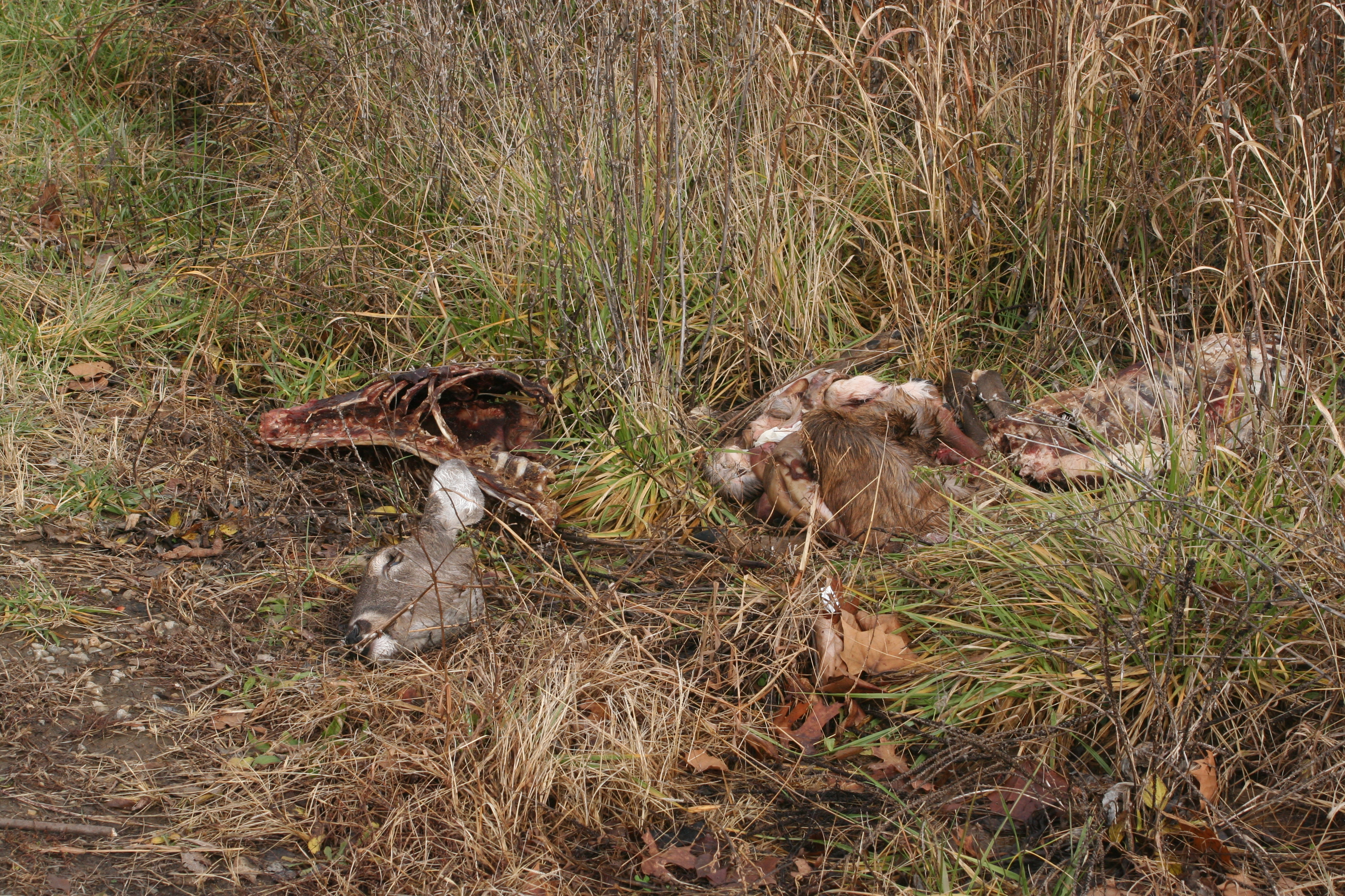
The drive there went through stages of awe and trill in a beautiful landscape, to a general discomfort in an obviously rural racist landscape (rebel flags in yards/on doors/on replica canons) to a parcel of land devoid of life and full of death. Once there the initial feeling was that the property felt like Mars as we entered from the south. That statement feels a bit used, but my next reference might be it felt like parts of Wyoming or Eastern Oregon, or an otherwise unpolluted, but unique landscape. This site was far beyond that and visually frayed and scraped through the years. We were seeing no more than a third of the property we could (or wanted) to access. It was apparent that this was a dumping ground. This land will never become anymore than a gravel pit and a lazy hunters carcass dump.
The Big River -St. Joe Minerals Corp. site in Desloge, St. Francois County, Missouri, was used for disposal of lead mine tailings from 1929 to 1958. The site is in mining region about 60 miles south of St. Louis known as the “Old Lead Belt.” St. Joe Minerals Corporation used the property to dispose of lead, cadmium, and zinc rich mine tailings over approximately 600 acres of land bordered on three sides by the Big River. Roughly 23,000 people live within 4 miles of the site. People on the site were/are also exposed to contaminated soil.
50,000 cubic yards of tailings fell into the Big River during a heavy rain in 1977. It was only then that the Missouri Department of Conservation noted high lead levels in bottom-feeding fish and advised local residents not to eat the fish.
In 1981, St. Joe Minerals tried to stabilize the tailings. In 1982, an extensive investigation conducted by the Columbia National Fisheries Research Laboratory detected elevated lead concentrations at 5 to 26 ppm in the surface water. Elevated lead levels were reported in the bottom-feeding plant and plant life. Big River is used for recreational fishing, recreation, and watering of commercial livestock.
January 1988 the EPA noted that a strong wind was creating a suspended particulate plume. Samples of tailings pile in January 1988 and July 1990, detecting elevated concentrations of lead, cadmium, and zinc. High-volume air sampling conducted during the 1990 site investigation indicated that wind erosion and airborne dust created a potential threat for on-site workers, residents, and children at a day care center. Roughly 23,000 people live within 4 miles of the site. People on the site were/are also exposed to contaminated soil.
Photographs were taken at the southeastern and western edge of the property.
